
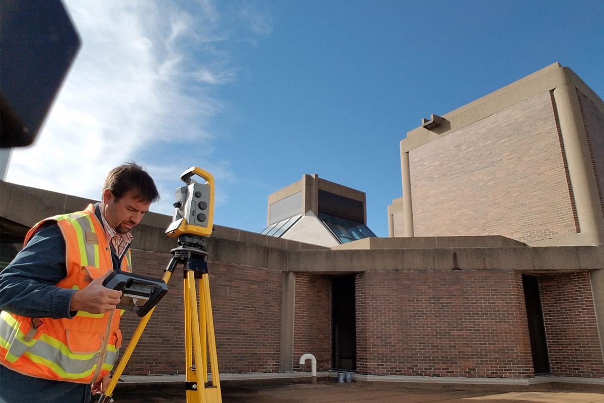
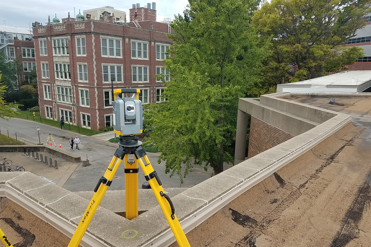
An engineer or architect needs to know the existing conditions of a site before they can complete their design for their site.
A topographic survey performed by a Professional Land Surveyor will give the design professional a drawing depicting the existing site features such as buildings, streets, sidewalks, parking lots, utilities and trees. The existing relief or “lay of the land” can be determined for drainage calculations and earthwork volumes as well. The survey is drafted in an industry leading CAD software for integration into engineering or architectural design software.
Topographic surveys can also be performed post construction for use as record drawings of the site work completed.
Having a topographic survey helps the design professional design a site that will minimize cost and maximize materials existing. It will make utility work more efficient and allow the site to drain stormwater efficiently. Understanding the existing conditions is essential for good design.

Stay in Touch for Monthly Shive-Hattery Industry Insights
More Land Surveying Projects
Creating the foundations that support community growth.


We're Learning, Growing + Sharing
Stay on top of the latest industry trends as we share how we are staying ahead of them.

Finding Purpose After Military Service
Civic + Justice

Engage the “Silent 75”
Pre K-12

Giving Staff & Student Families a Voice
Pre K-12