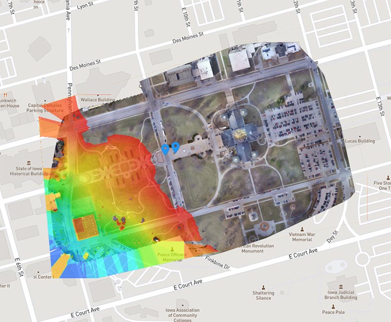
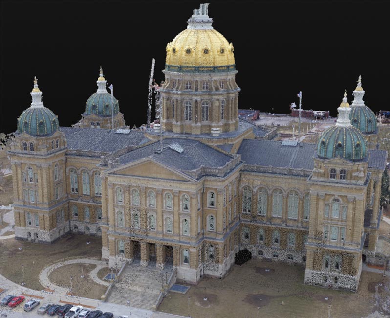
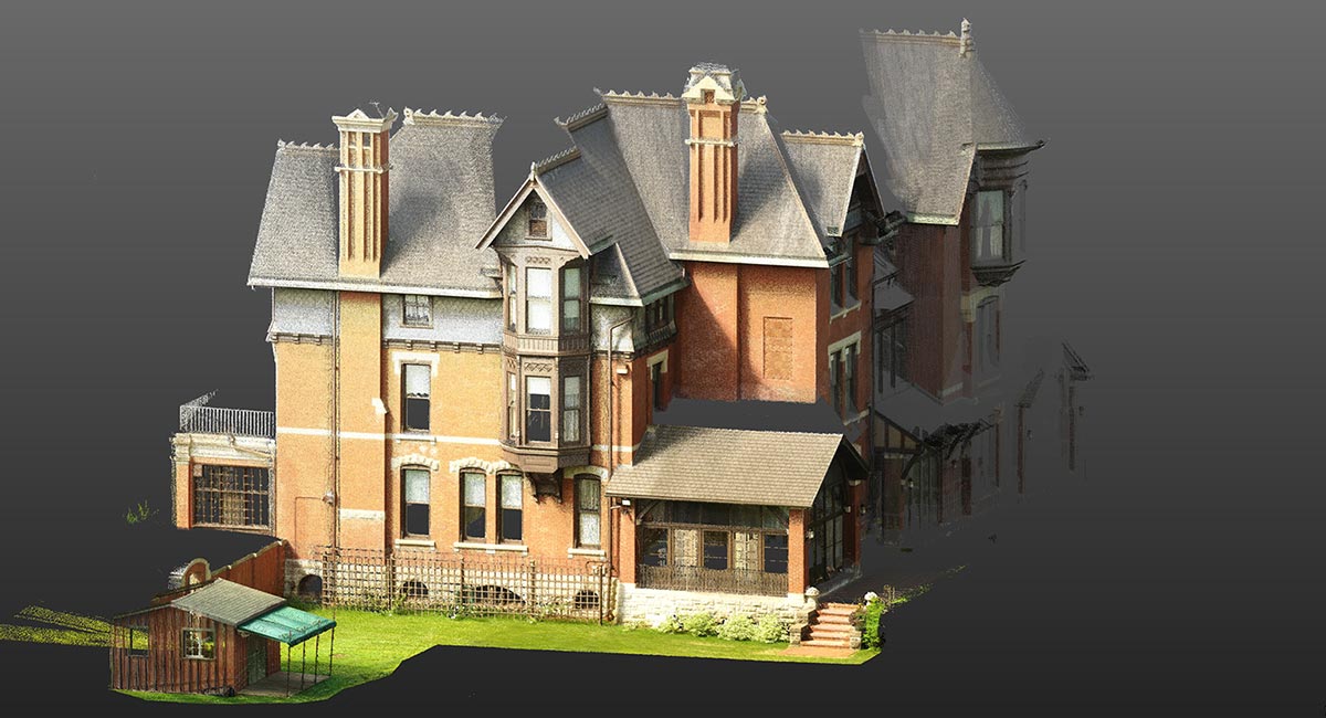
After scanning a building or site in its current condition through the use of 3D laser scanning, photogrammetry, and drones, reality capture technology gathers large amounts of data that accurately represent existing conditions.
Millions of data points map the site, including below-the-surface mechanical, electrical, and other systems. These sites can include parts of a building, an entire facility, a site, or a whole campus. This data is then converted into BIM data, becoming immediately useful and actionable. It can also be overlaid with existing models or other types of visual information to compare actual vs. design data.
Also called “scan-to-BIM,” reality capture creates real-time, highly accurate, digital models of current conditions. For new projects, the data collected can be used to inform the design, ensure that designs are accurate and constructible, monitor project progress and reduce jobsite visits, conduct quality control checks, pinpoint potential project challenges, reveal inconsistencies between plans and construction, or establish baseline models to work from on future projects.
During renovation, reality capture can help identify potential problems that may conflict with design plans. (An example: Pinpointing existing plumbing that will interfere with the size of a proposed bulkhead. By discovering this early, the design can be adjusted to prevent a problem after construction starts.)
Having access to as-is construction, operating, and/or design conditions helps prioritize tasks within a project, accurately represents assets, documents necessary repair and maintenance work, and provides data that will help you make decisions about anything from where to plant new trees to where to lay out new infrastructure for utility expansion.

Stay in Touch for Monthly Shive-Hattery Industry Insights
More 3D Visualization Projects
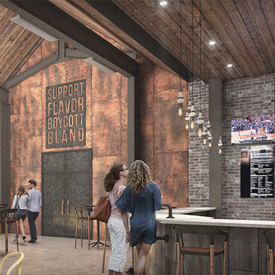
Creating the foundations that support community growth.

We're Learning, Growing + Sharing
Stay on top of the latest industry trends as we share how we are staying ahead of them.

Building Opportunities Through Ownership and Growth
A Career Built on Trust, Growth, and People
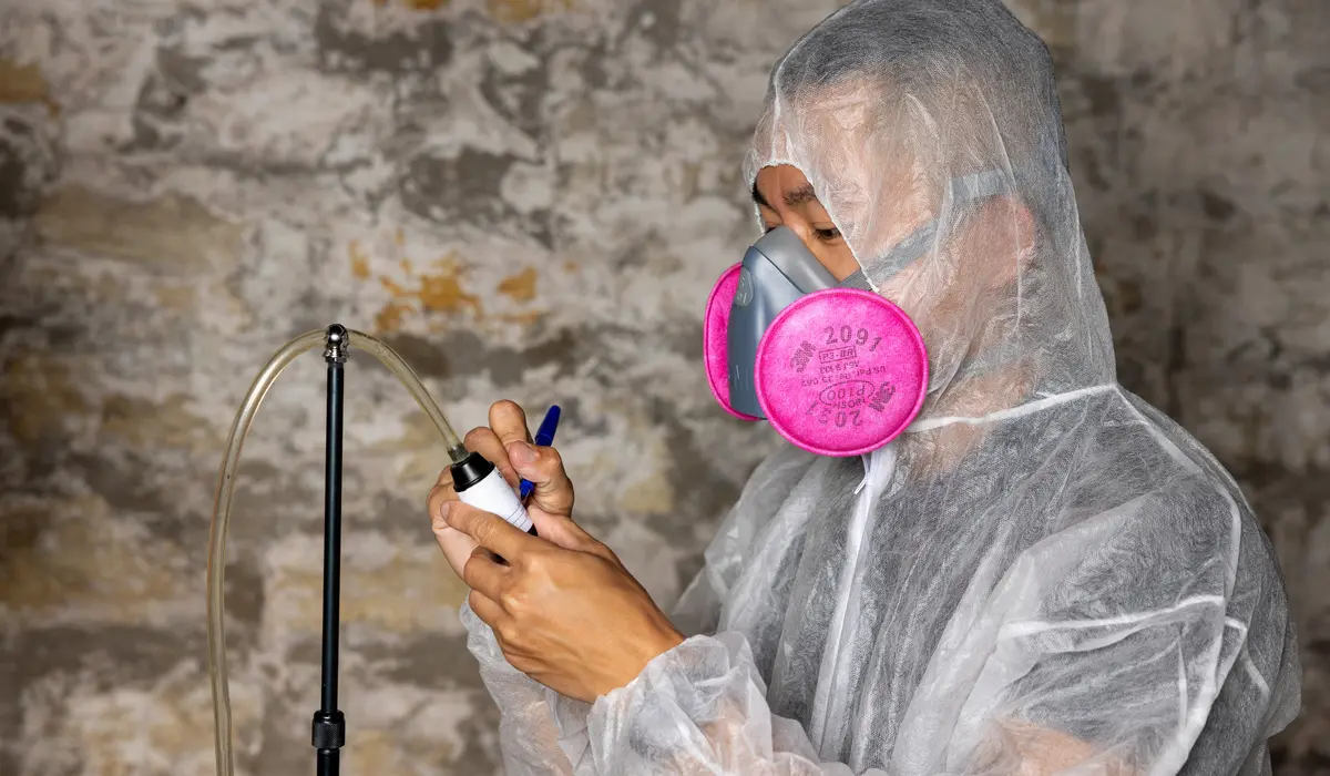
Get Ahead of Environmental Compliance
Pre K-12