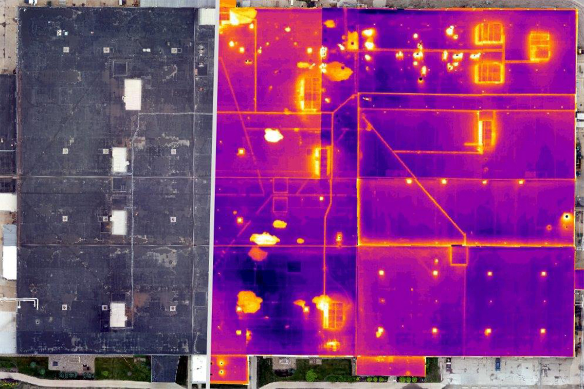
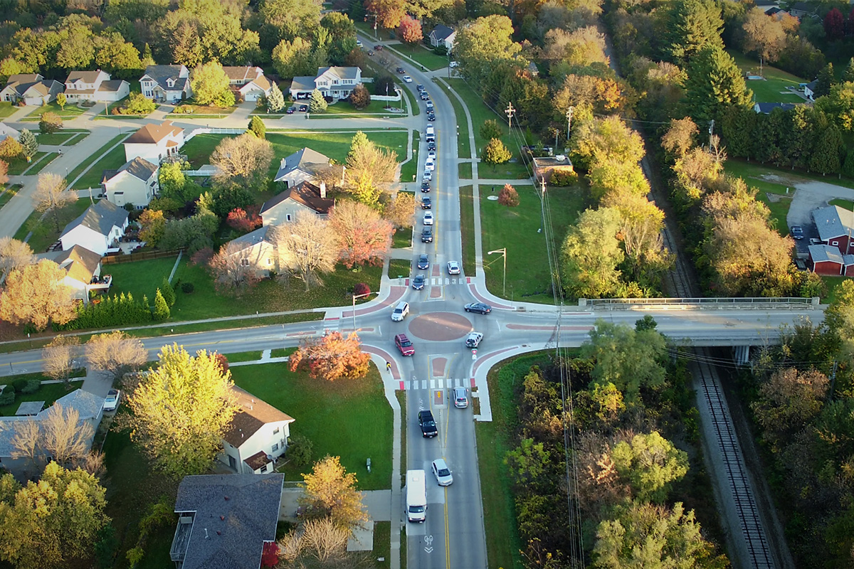
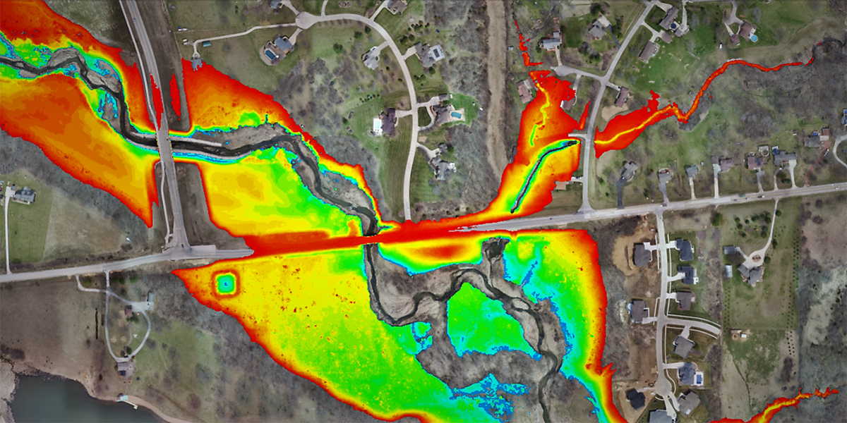
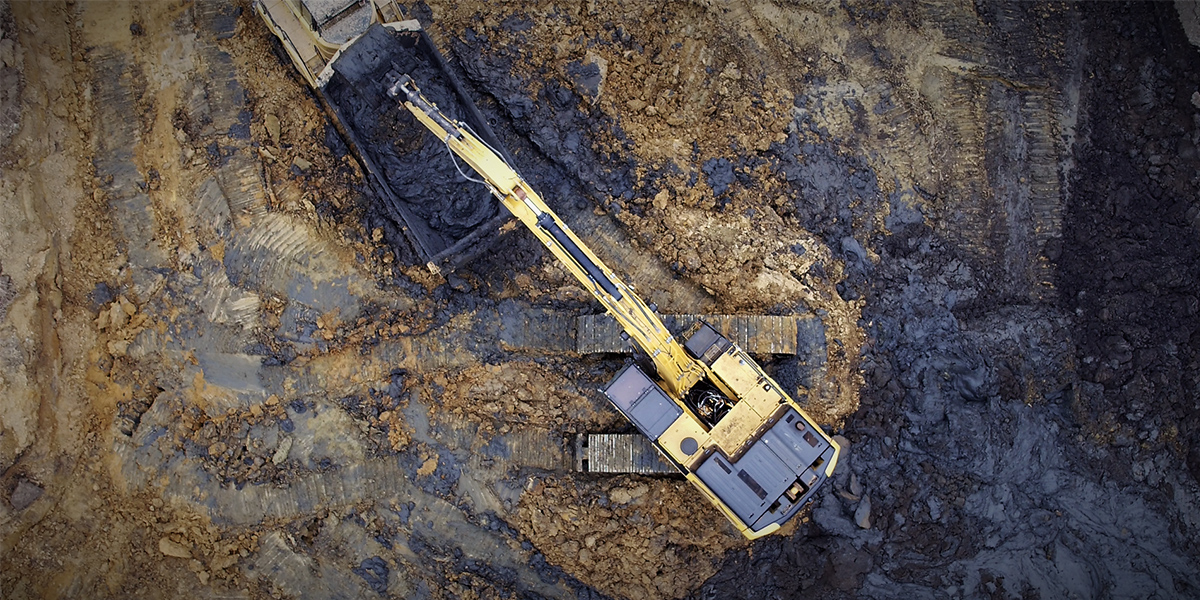
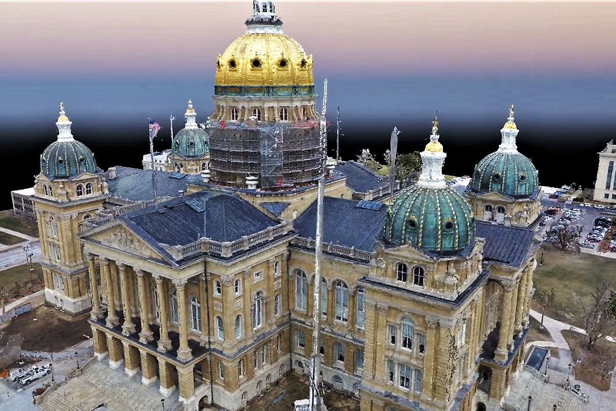
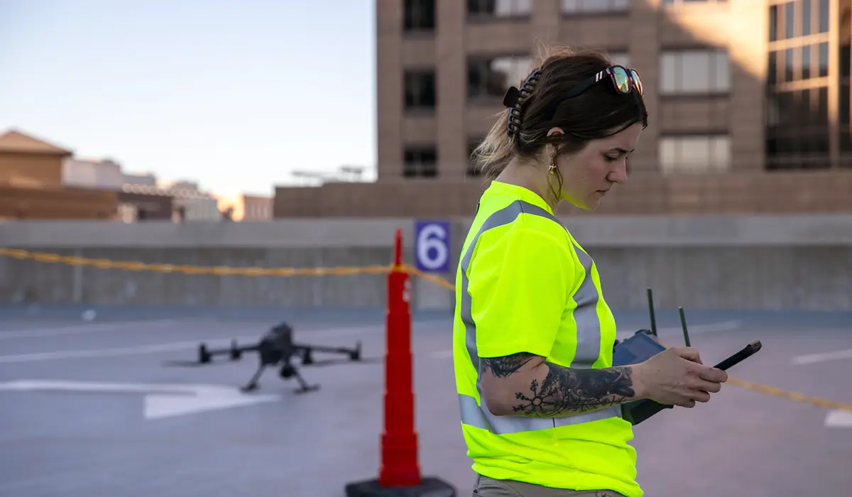
Shive-Hattery’s drone capabilities bring exciting opportunities for our clients. We are able to provide topographic surveys, construction progress documentation, quantity verifications, thermal imaging, digital modeling, and asset management. Through the use of drone technology, our certified drone pilot(s) produce vibrant, dynamic HD aerial video and photos that are immense value throughout the duration of your project.
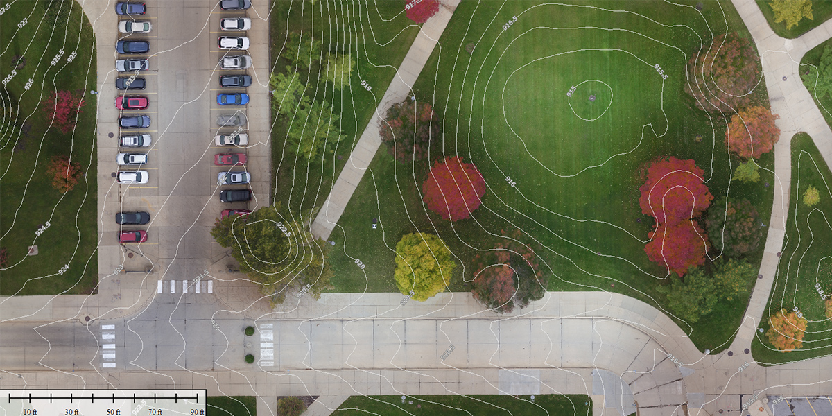
Our highly accurate surface models allow us to improve project planning and design, giving us the ability to visualize all data in one domain. High-resolution, georeferenced imagery provides up-to-date and accurate information.
Our first priority is operating in a safe and legal manner. We are fully insured and our pilots are FAA licensed. Before each flight, we take great precautions to ensure we are fully authorized for operations by the FAA, state and local authorities, property owners, and other parties in the vicinity.

Stay in Touch for Monthly Shive-Hattery Industry Insights
More Civil Engineering Projects
Creating the foundations that support community growth.

We're Learning, Growing + Sharing
Stay on top of the latest industry trends as we share how we are staying ahead of them.
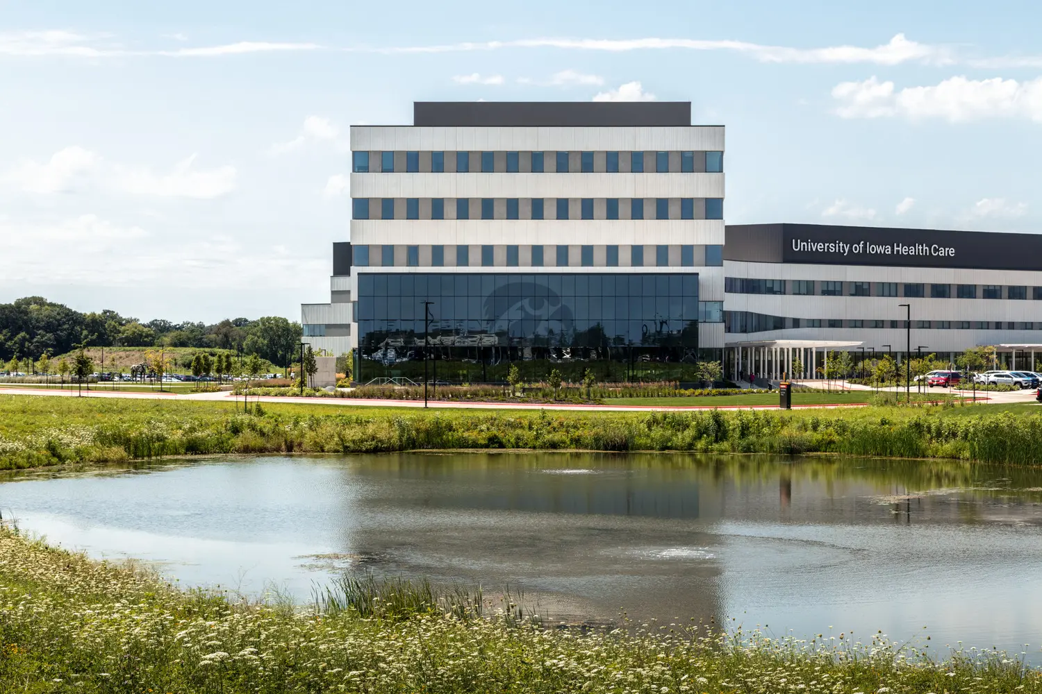
Expanding Care Beyond The Campus
Healthcare
Turning 26? Here’s the Benefits Stuff You Actually Need to Know

IRA Tax Credits for Schools
Pre K-12